See where homes and businesses are in relation to active fires and closed roads.
| Below the map Links for Donations , Safety & More Fire Resources |
|
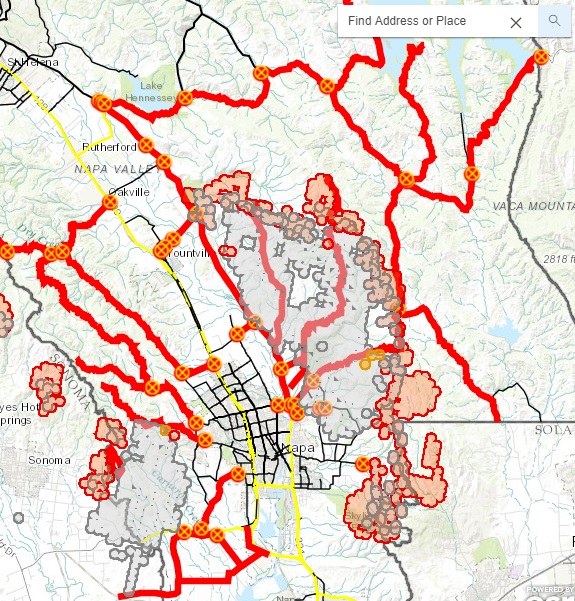
Active Fire Incident Map for Napa
County See where homes and businesses are in relation to active fires and closed roads. |
|
|
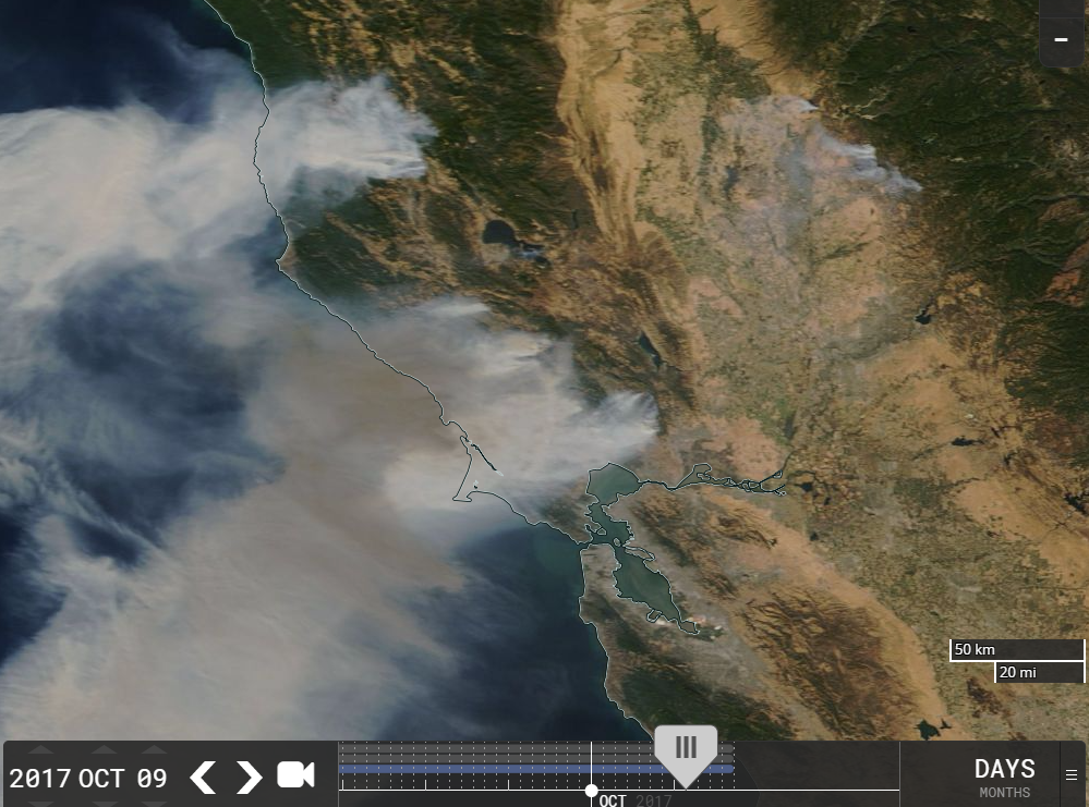
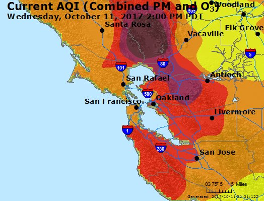
October 12, 2017: This is a searchable map showing active burning areas, burned areas, perimeters and closed roads for the 2017 Atlas and Partrick Fires in Napa County, California. This is my attempt to make it easier to track my brother's location in Napa and the active fires as I kept going back and forth between official maps as CAL fire and others wouldn't show a mark on his location. This should remedy this. But For official information, go to CAL Fire @ http://www.fire.ca.gov/current_incidents |
You can enter the street
address for homes and businesses to see where they are in relation to
the to show active fires in relation to 2017 Atlas and Partrick Fires in
Napa County. Steps:
|
|
Donation Links
More Fire Resources
|
|
 |
|
| KirkLindstrom.com Home of "CORE & Explore®" investing. |
Blog |
|
| FREE=> Investment
Letter
SAMPLE <==
FREE |
||